Hiking Mount Arvon: The Highest Point in Michigan
Mount Arvon Michigan may not be one of the biggest draws in Michigan hiking, but there is still a lot to know if you are wanting to check off another state high point hike and summit the highest point in Michigan! This guide covers exactly what to expect when hiking Mount Arvon!
Disclosure: Below are some affiliate links-these are all products I highly recommend. I won’t make any recommendations on this page that I haven’t tested or personally used! Enjoy this guide to hiking Mount Arvon, the highest point in Michigan!
Table of Contents
Mount Arvon Michigan
Mount Arvon is the highest point in Michigan at 1,979 feet in elevation. There are two ways you can experience Mount Arvon. You can hike your way to this highest elevation in Michigan on a short day hike, or you can drive to the summit.

Location of the Highest Point in Michigan
Mount Arvon is located in very rural northern Michigan, with the closest small town being the quaint waterfront town of Skanee. Whether you are planning to drive to the trailhead of the short Mount Arvon summit trail, or drive all the way to the summit of Mount Arvon, getting there can be a little tricky, especially when using Google Maps.
*At the time of this posting, Google Maps will direct you to turn off the main road out of Skanee a little too early, and proceed to direct you through private property and “tractor” roads that are not actual passable roads. It is better to follow the posted blue roadway signs that will direct you to Mount Arvon.
The best way I can recommend to get to Mount Arvon, is to pass through Skanee, and then watch for the blue diagonal signs posted along Skanee Road, which take you turn by turn up to the summit. The signs aren’t terribly large, so keep a close eye out. These signs were more accurate than following Google Maps.
The road to Mount Arvon is windy and a bit bumpy, but is doable in just about any vehicle with care. There are some smaller dirt roads that branched off from the main road, so just be aware of that and continue to follow the main dirt road, and watch for the blue signs. If the area has received a lot of recent rain, you may experience more difficult driving conditions due to mud.
A short distance below the summit will be a small parking area cleared out for the short Mount Arvon summit trail. You can park here and hike up to Mount Arvon, or you can continue to drive up the road to the parking area just immediately below the summit, if you prefer to drive the whole way. The summit trail is 1.75 miles one way up, or 3.5 miles point to point roundtrip.
*There is no parking fee at either the trailhead for the summit trail, or at the summit parking area.
Map of the Mount Arvon region
Visiting Mount Arvon Michigan
The point of highest elevation in Michigan is humble, and many might find that the bumpy rough roading drive up is more eventful than the summit itself. However, Mount Arvon does provide two visiting options for high pointers, which is nice, as some state high points of this lower elevation simply do a drive up alone. You can choose to hike or drive up Mount Arvon. For specific drive up instructions (do not follow Google Maps), scroll up just a bit to the section on location of Mount Arvon.
Quick Facts on Mount Arvon
Length: Drive up, or 3.5 mile point to point roundtrip hike
***What exactly is a “out and back” trail?
Elevation: 1,979 feet
Pup Friendly: Yes
Best Time of Year to Visit: Spring, Summer, and Fall
Whether you are planning to partake in the short Mount Arvon summit trail, or drive all the way up, the drive up from Skanee should be viewed as part of the fun! And don’t forget to follow the blue diamond roadway signs!
To hike Mount Arvon, park at the small clearing on the right side of the road at the blue diamond sign for the Mount Arvon trailhead, shortly before the summit. This trail is 1.75 miles one way to the summit, or 3.5 miles roundtrip, and while it is not an iconic hike, it is a fun and scenic way to enjoy this highest elevation in Michigan.
This short state high point trail is all shaded, with manageable, moderate incline, and some moderate water sightings along the adjoining creek.
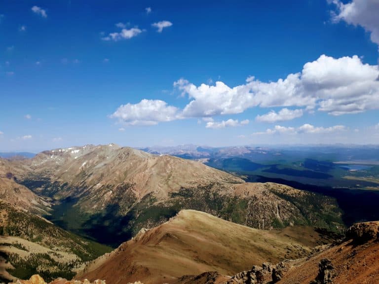
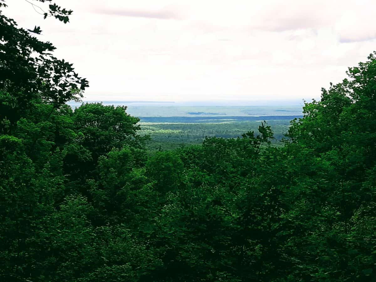
If you drive all the way up to the summit of Mount Arvon, the parking area will be just about 100 feet short of the summit. The summit contains a simple blue diamond sign and log, and is completely shaded and enclosed. However, if you continue off to the right side down a short side trail, it will take you to an opening in the forest canopy where you can witness some nice panoramic views over Michigan.

Know Before You Go
Just a couple things to know ahead of time to make your visit to Mount Arvon Michigan more enjoyable!
- follow the blue diamond roadway signs for Mount Arvon when coming from Skanee, NOT just Google Maps! At the time of this article, Google Maps will take you on unpassable private roads
- there are no fees to hike, park, or enter Mount Arvon
- the dirt road leading up to Mount Arvon is long and bumpy!
- there is not great cell reception, so download any maps ahead of time
- there are no bathroom facilities at the summit
- bring along the best insulated water bottle for keeping hydrated!
- whether you hike the summit trail, or just explore the summit after driving up, don a pair of these trail runners with just a bit extra grip!

Other Outdoor Attractions Near Mount Arvon Michigan
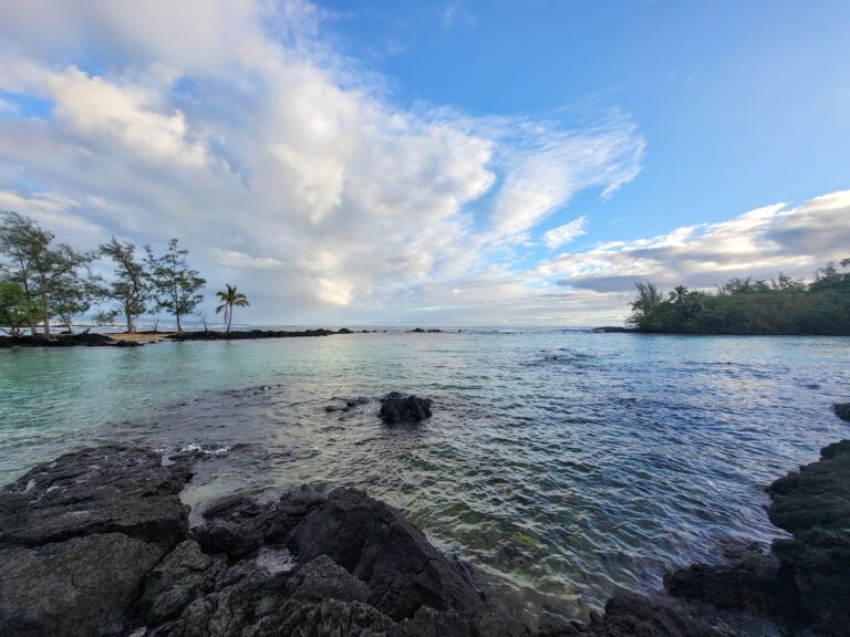
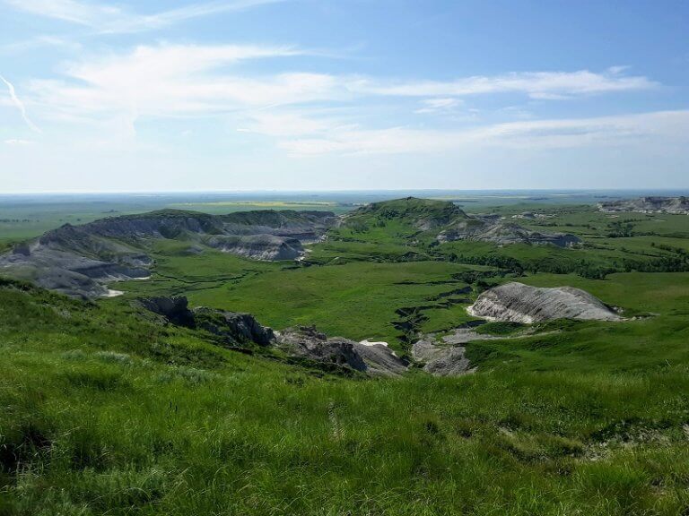
While you are in this forested area of Michigan’s upper peninsula, check out some of these other outdoor ventures, including a stunning National Forest, rugged lake shores, and a secluded and mesmerizing National Park!

There you have it, your guide to making the most of your visit to the highest point in Michigan, Mount Arvon!
And did you know there are two other state high point hikes nearby in the neighboring states of Minnesota and Wisconsin! Let your state high point hiking adventure continue with the highest point treks of Eagle Mountain in Minnesota, and Timms Hill in Wisconsin!
Curious about the other 50 State High Points in the US?
Check out this FREE download on all 50 state high points, including your own state!
PIN for LATER!